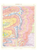
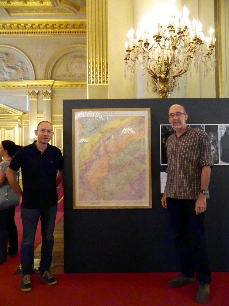
[en] We are sorry, the geological map shown on the exhibition site (http://www.cartographiae.be/object36_fr.html) is unfortunately not the version that was exhibited!. For the good version, please just have a look at the document 1 & the photo (adjuvant).
Modern cartography, made possible by the processing of satellite images, offers the possibility of producing specialized maps of extreme precision, allowing the dynamics of many phenomena in various fields such as: meteorology and the sciences of atmosphere, geology, observation of environmental territories, the history of societies, the study of works of art, etc. See more on: https://www.astro.oma.be/fr/science-et-culture-au-palais-royal-2016/
Research Center/Unit :
Paléontologie animale - UR Geology - Université de Liège
Disciplines :
Earth sciences & physical geography
Author, co-author :
Marion, Jean-Marc ; Université de Liège - ULiège > Département de géologie > Evolution and Diversity Dynamics (EDDy) Lab
Mottequin, Bernard; Institut Royal des Sciences Naturelles de Belgique > Direction Opérationnelle Terre et Histoire de la Vie > Évolution de la Paléobiosphère
Language :
French
Title :
Carte géologique manuscrite de Spa (49/4) à l'échelle de 1:10.000
Alternative titles :
[en] Handwritten geological map of Spa (49/4) at a scale of 1: 10,000
Programme de révision des cartes géologiques de Wallonie. Recherches collectives d'intérêt général
Funders :
SPW/DGARNE/Service géologique de Wallonie
Commentary :
Nous sommes désolés; la carte illustrée sur le site de l'exposition (objet 36) n'est malheureusement pas la version qui a été exposée. Pour la version exposée lors de cette manifestation, voir le document 1 annexé et l'adjuvant.
